
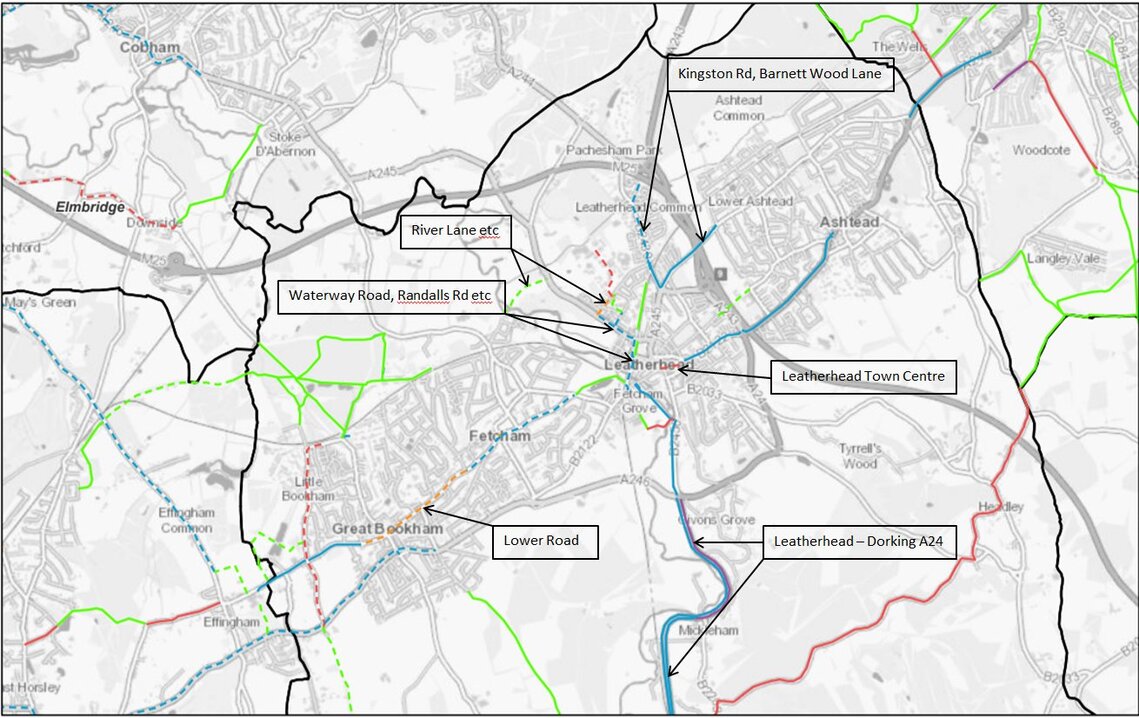
The maps below have been put together with the aim of understanding how our Cycle Route priorities fit in with existing infrastructure.
Because of the layout of Mole Valley, there are three maps covering the north (Bookham-Fetcham-Leatherhead-Ashtead), the central (Westcott-Dorking-Brockham) and the south (Ockley-Capel-Newdigate) areas. Currently the resolution of these images is not very high and we will endeavour to improve this shortly.
These maps are annotated versions derived from the Surrey County Council Cycle Facilities Mapping (see https://www.surreycc.gov.uk/roads-and-transport/cycling-and-walking/cycle-network )
A higher resolution set of these maps is also available here (4MB).
North (Bookham-Fetcham-Leatherhead-Ashtead):
Central (Westcott-Dorking-Brockham):

South (Ockley-Capel-Newdigate):

Key to Existing Infrastructure:
